

Tahoe Rim Trail - Traversing the South Rim
I had three real hiking days for this section due to an unexpected lightning storm that hit the first two days on trail. My friend and I planned to hike this part together, and due to the sprinkles that started hitting the tent on our first night, plus my weather research, I advised them to attempt backpacking in better weather. Boy, am I so glad that we chose to get off trail. After she dropped me off at the Travel Inn in South Lake Tahoe, the weather turned for the worse; it hailed, rained, and lightning struck. I decided to use this time to wait on the weather, do some work, and relax locally before heading back out. Plus, it gave me time to heal from my urinary tract infection from my section in Etna.
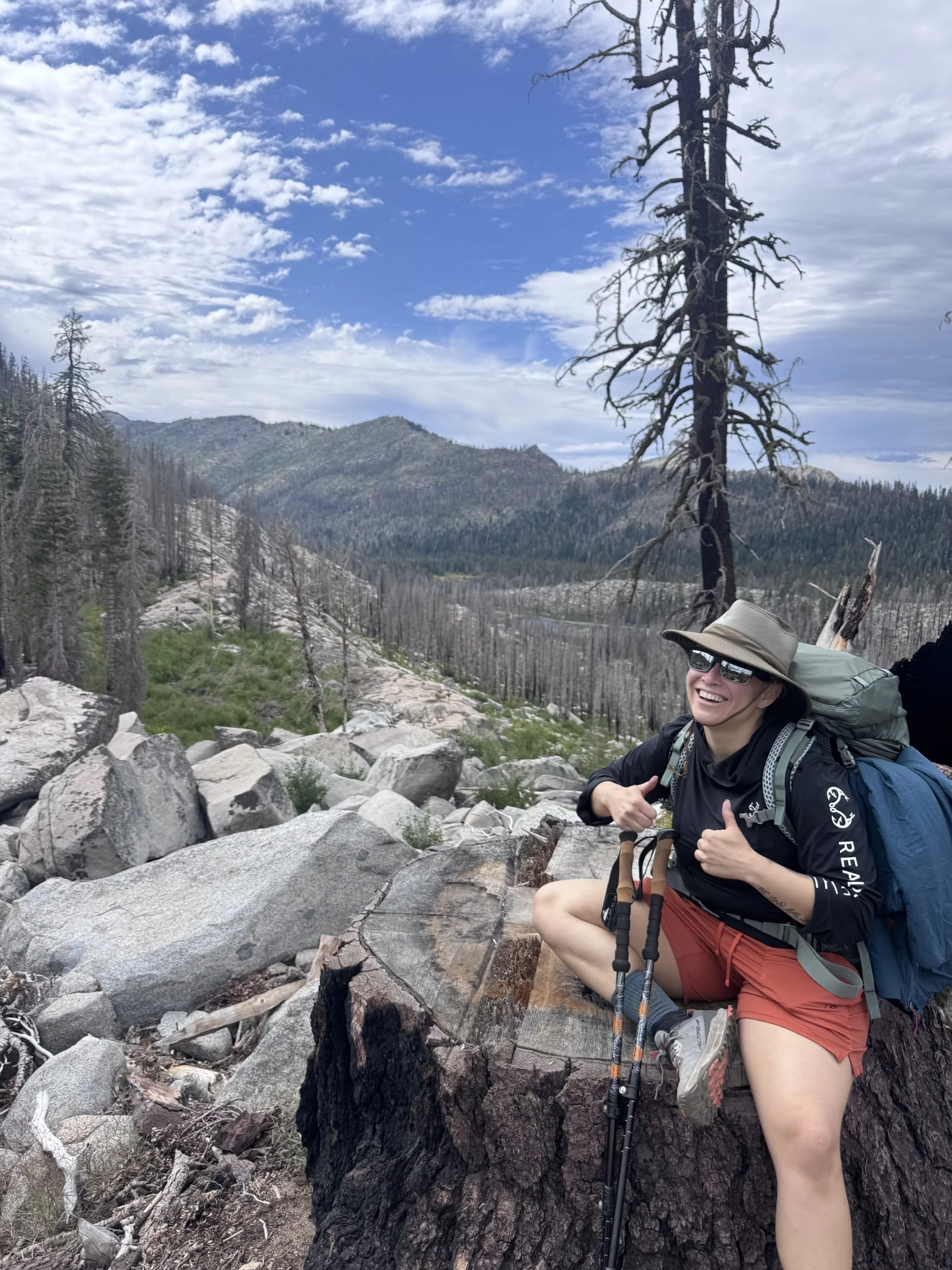
Image Source: Paige Combs, "Hiking Out of Echo Lake," July 2026.
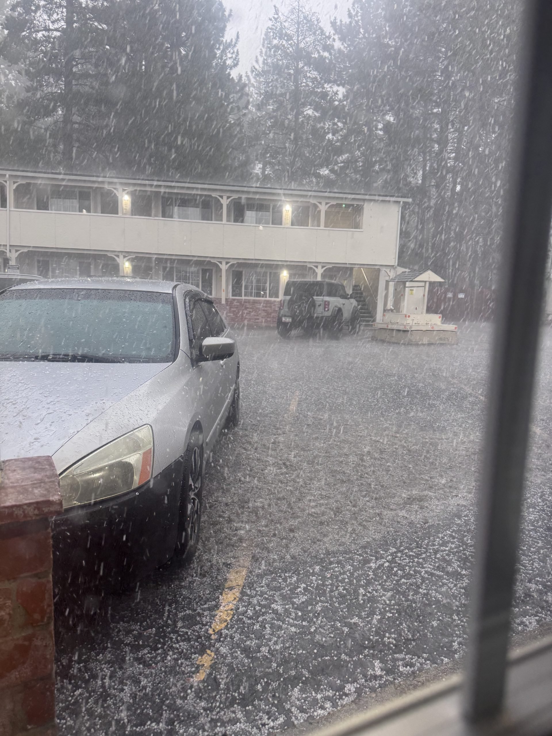
Image Source: Paige Combs, "Hail and Lightning Storm," July 2026.
What is The Tahoe Rim Trail? (170-mile loop)
The Tahoe Rim Trail has been declared complete since 2001, almost entirely through volunteer effort. Part of it intersects with the Pacific Crest Trail, which follows the section from Truckee, through Desolation Wilderness, and down to Highway 88. The route has about 28,000 feet of elevation gain throughout the trail and is surprisingly dry, especially on the eastern side when you cross the California / Nevada border.
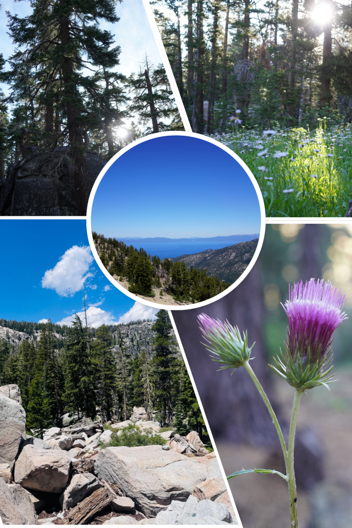
Image Source: Paige Combs, "South Lake Tahoe Collage," July 2026.
I was reminded of this while hiking to the southernmost point of this trail, where I easily gained 2,000 feet of elevation in a single hill climb. Not to mention, the grades are more challenging, despite having switchbacks. I was frequently challenged with a 9% grade with 1000 feet of elevation over the course of 2 miles.
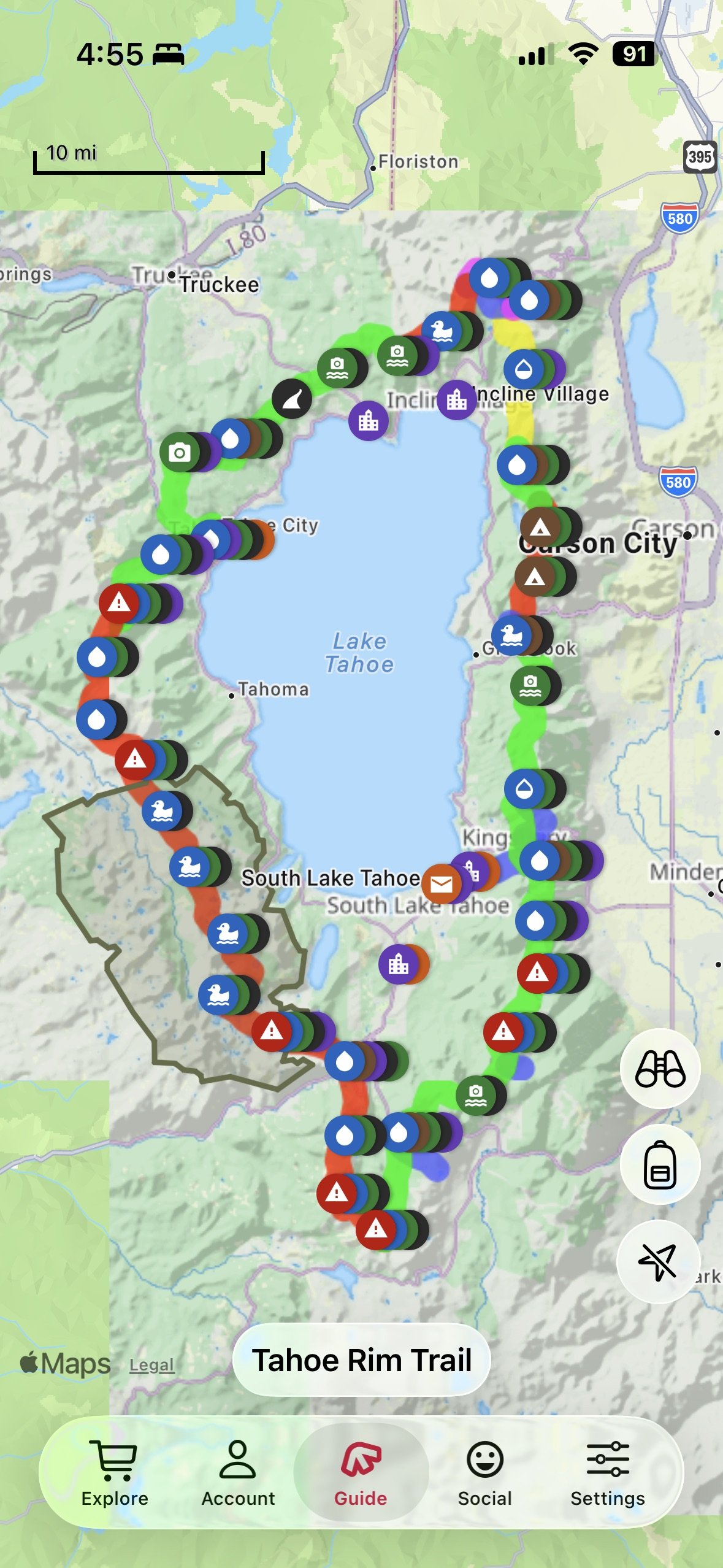
Image Source: Paige Combs, "Tahoe Rim Trail - FarOut," July 2026.
Echo Lake to Showers Lake (10.4 miles)
My hike out of Echo Lake (the second time) was quiet. I took two hitches, one to Meyers and the second to the trailhead. I met someone who was doing trail magic at the road, Hobble. Pacific Crest Trail thru-hikers were hiking through, and I assured them that they would see plenty of northbounders with a hunger for some ice cream and oranges.
I hiked up the mountain and went over 3,000 feet in elevation within my first 10 miles. I was still a bit cautious due to my UTI, so I wanted to take it easy and enjoy the scenery as much as possible. Thankfully, there was plenty of cloud coverage as I was hiking. Also, to my surprise, there was connectivity through the entire hike.
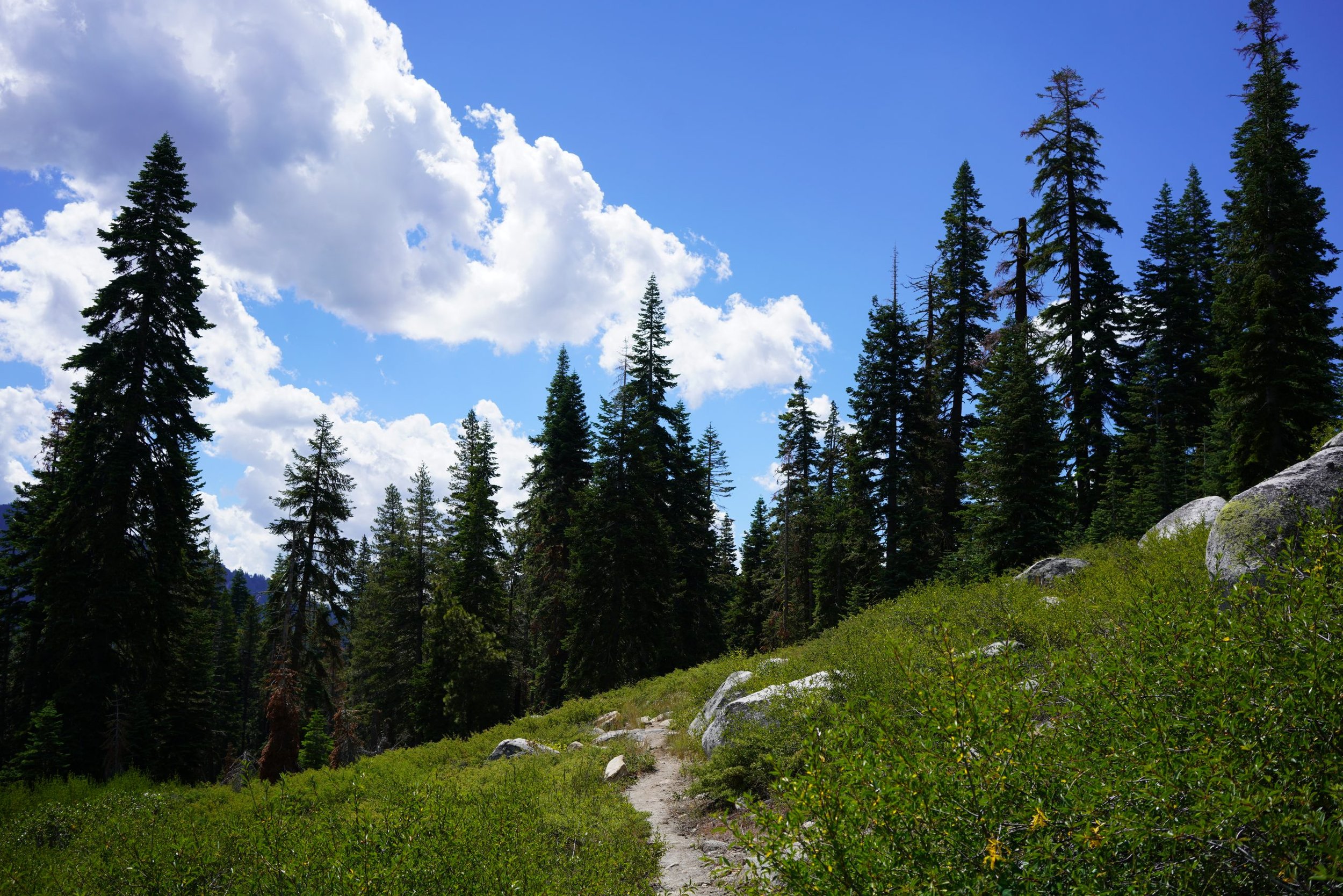
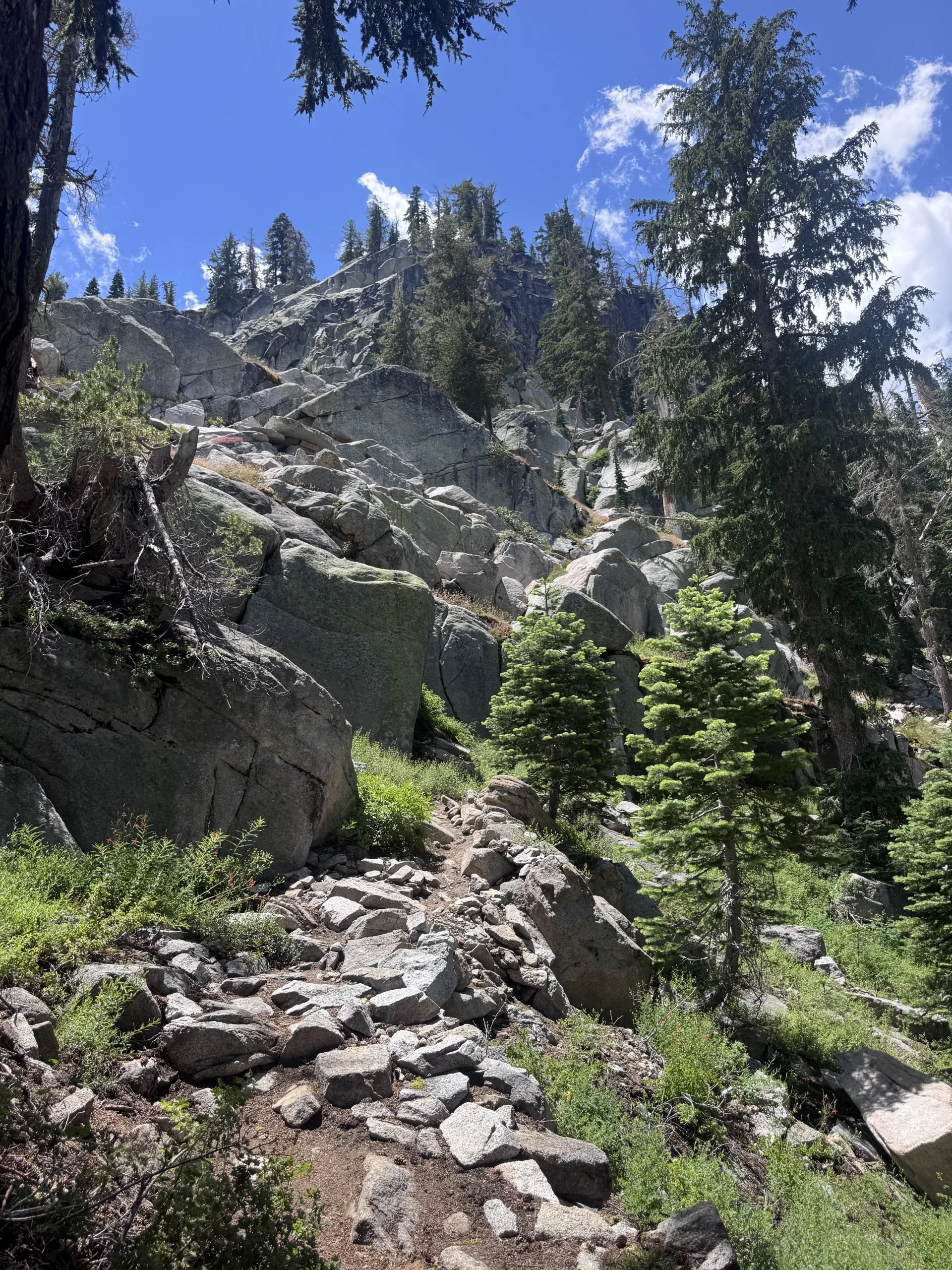
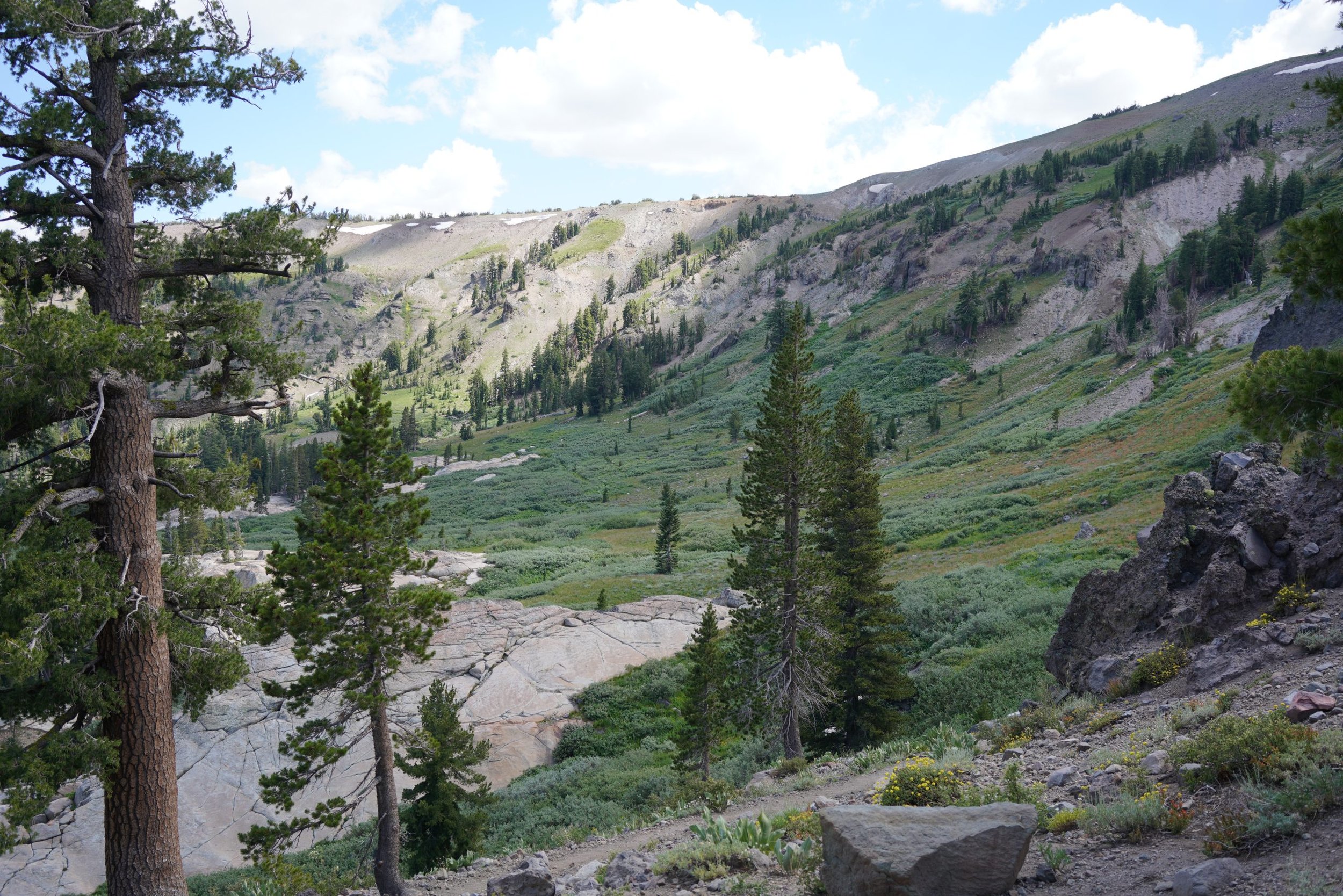
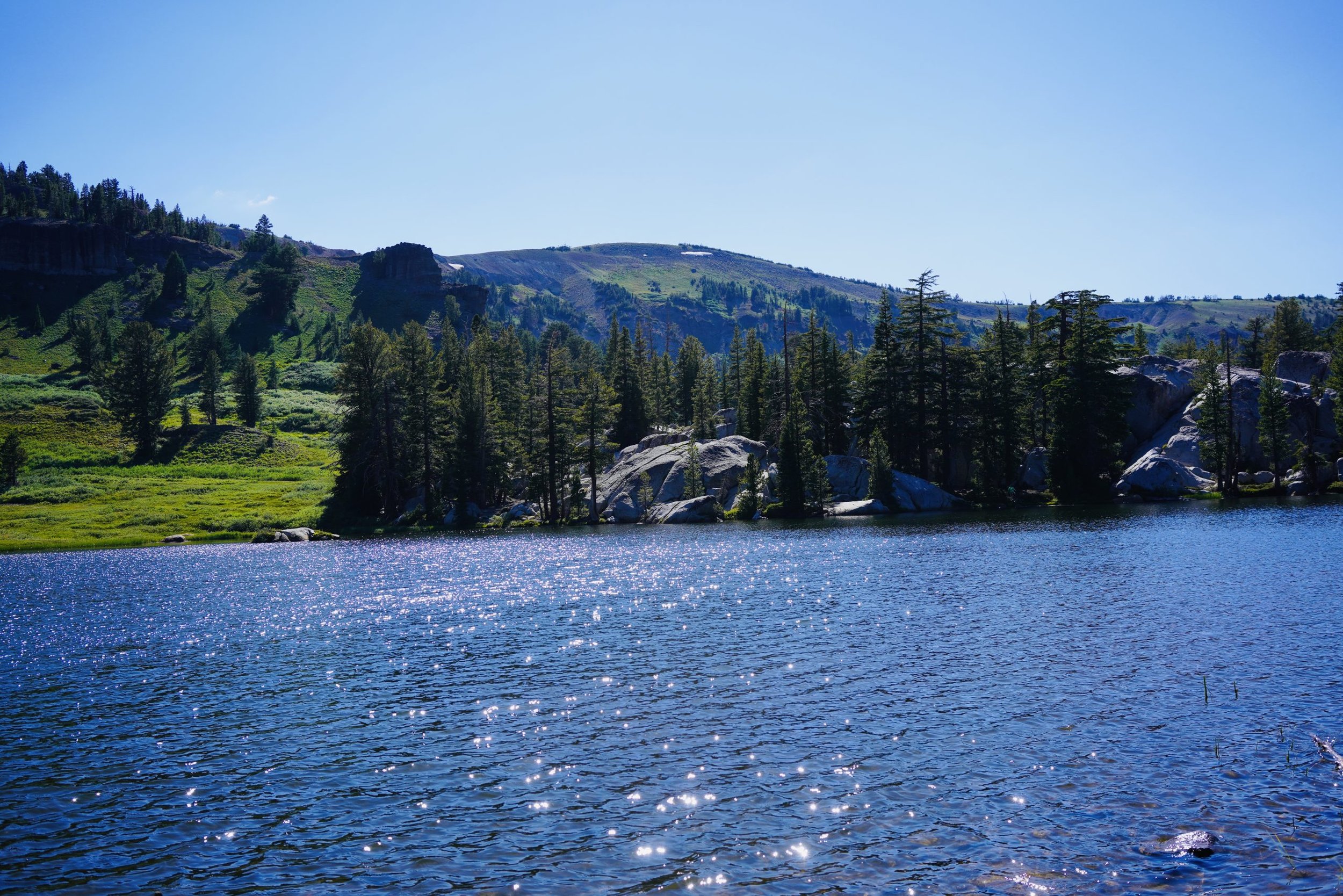
I was in bed early that night, at about 8 PM, just before the sun started to set. There were campers all around me who were there with their families enjoying the lake and the scenery. I was up and gone the next morning before any of them were awake.
Showers Lake to Grass Lake Creek (8.4 miles)
I woke up early, probably around 5 AM, and started to tidy up my gear and eat my breakfast. I was out of the campsite by 6 AM, but it felt so much later. The sun was up bright and early with me as I started my descent into the valley. I'd be going mostly downhill the entire morning, where the trail would meet up with several parking lots for day hiking.
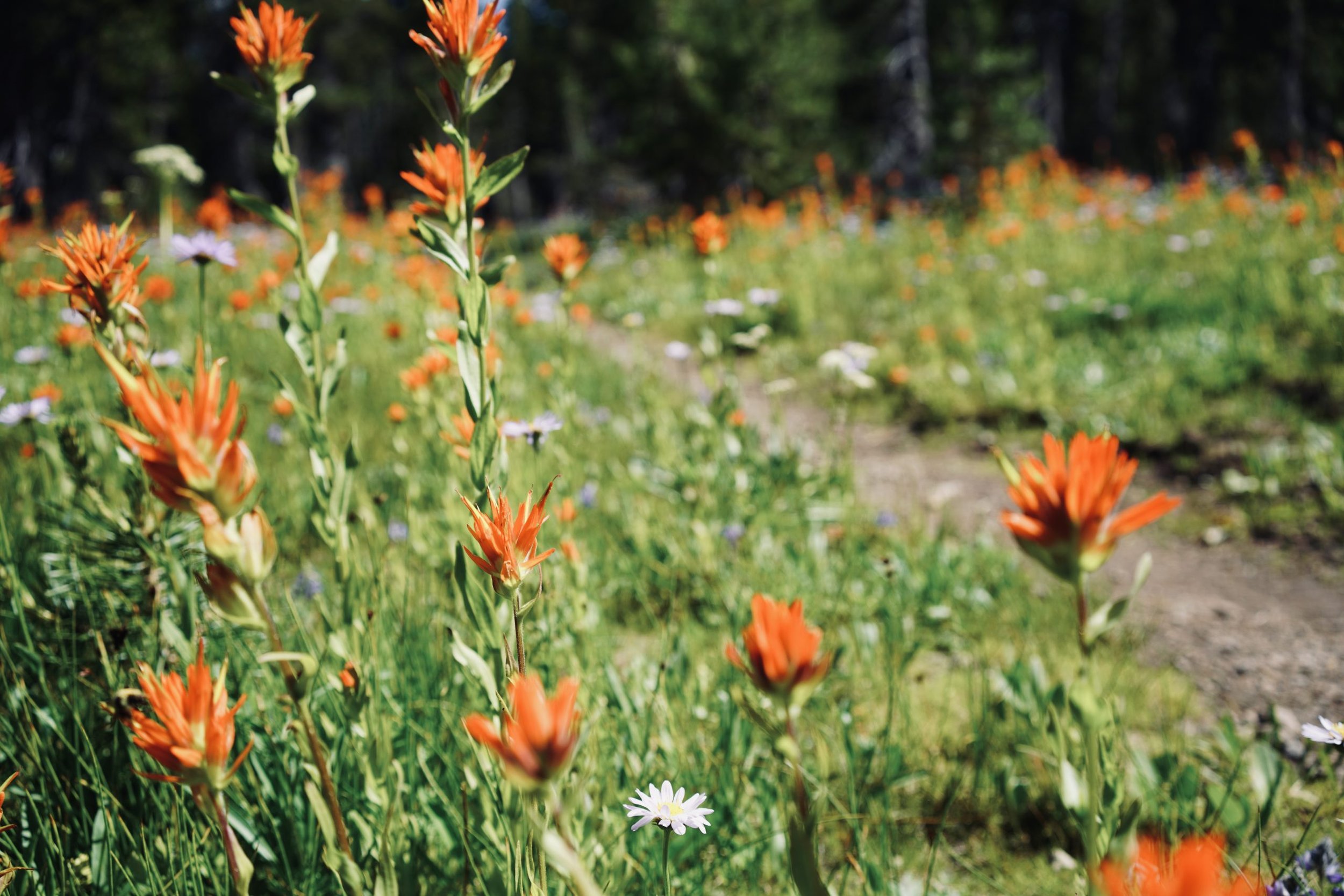
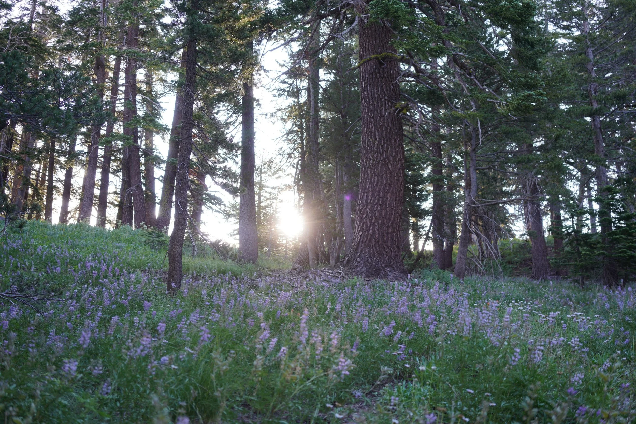
The morning is always my favorite time to hike. It's not too hot. The sun is just beginning to peep over the mountains and leave a delicate glow on the wildflowers and grasses around me. It's also my most productive hours, and probably the easiest miles for me compared to the afternoon. I always try to get in half of my miles of the day before noon.
Lunch Break...or End of Day
When I got to my lunch spot around 10 AM, I made some phone calls and sat in the shade right next to the running creek and bridge. I didn't expect to stay that long, just long enough to get some food in my system. Unfortunately, I started to have some nausea, which is fairly typical for me with the high elevation. I forced myself to eat some ramen, knowing I needed the salts and water. By the time I was finished, the hot afternoon sun rolled through, and I started shifting my gear under trees with shade every time the shadow would move. Before I knew it, several hours passed.
"I guess....I'm stopping here," I told myself.
I felt tired. My mind and body felt tired even though I just had some town days to recoup. Rather than trying to understand it, I just gave my body what it needed. It wanted a day. So I rested in the shade until 5 PM, set up my tent, and set good intentions for the next day. I'm trying to be better about not being judgmental with my body, and instead just giving it what it needs.
Grass Lake Creek to Highway 207 (26 miles)
I'm pretty sure my body received whatever it needed. I woke up early the next day, maybe around 4 AM, and was taking my time journaling in the tent and eating breakfast. It was freezing. My temperature gauge said it was 44 degrees, which, after experiencing over 90 degrees in the afternoon sun yesterday, my body was in shock. I let myself warm up as I tried to visualize my day and see what I might be able to accomplish. After completing my morning business, eating my breakfast, and packing my gear, I was out of my tent site by 6:40 AM.
Excited to be back on trail, I climbed out of the valley for about 6 miles. The elevation gain and ascent weren't as horrendous as I thought it would be. There were plenty of switchbacks, and the grade was fairly gentle at about 6.7%. I met a couple of other thruhikers who were on the Tahoe Rim Trail. They had a dog who spent her time rolling on her back trying to get her backpack off.
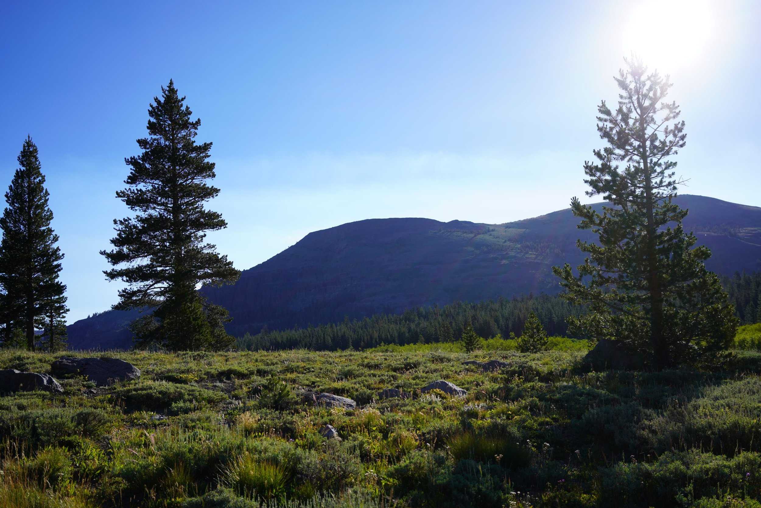
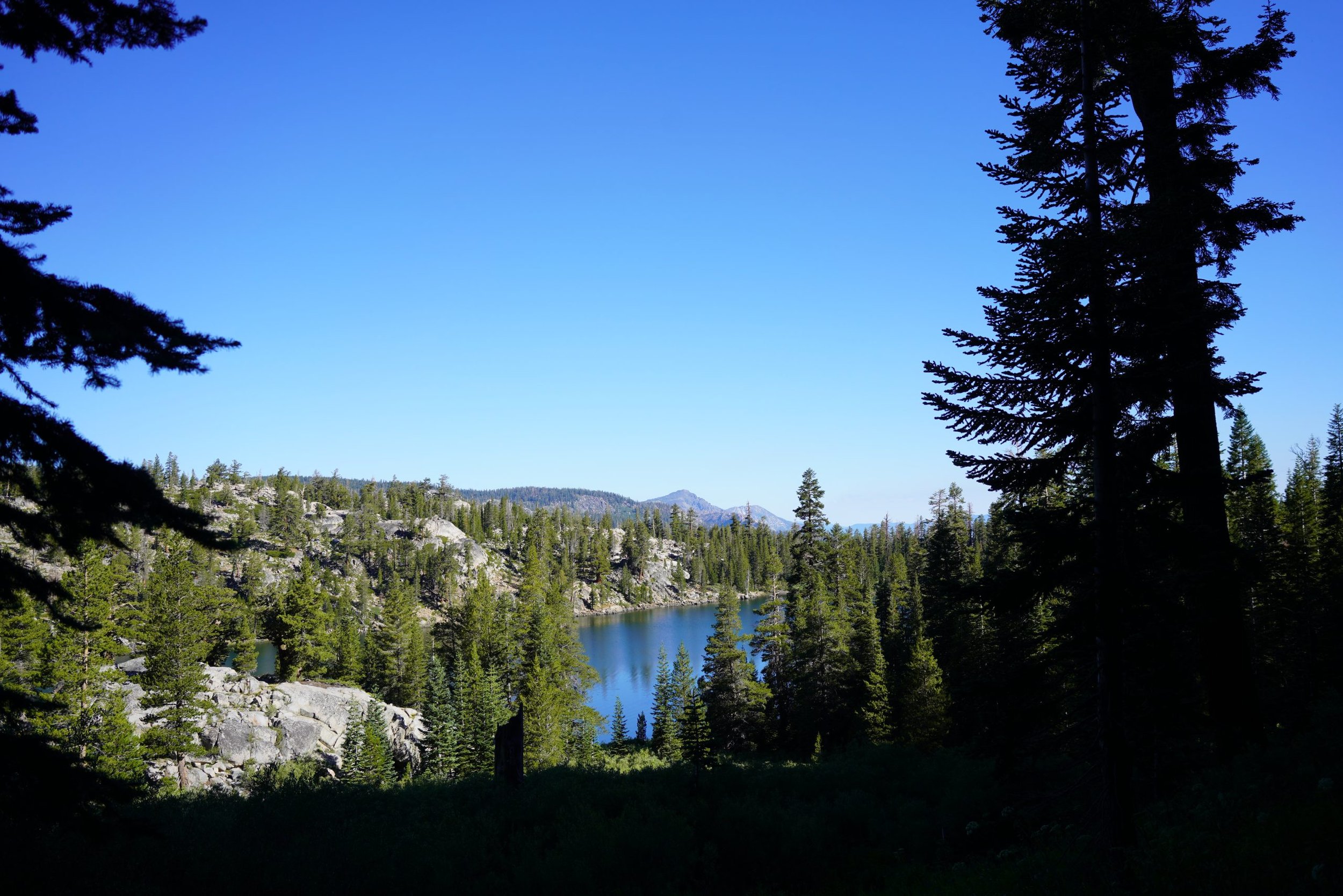
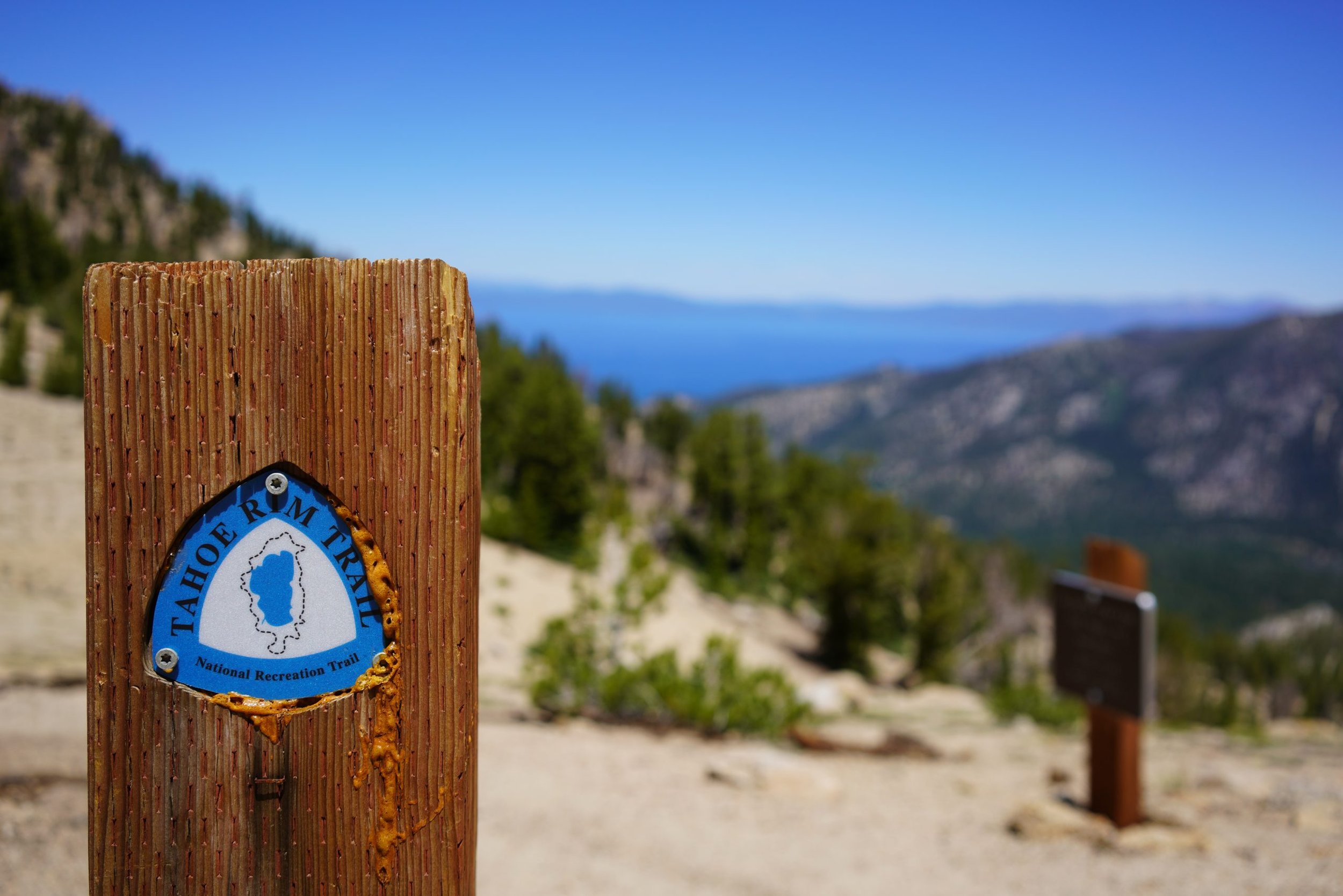
My morning was off to a great start. I was hoping I could get about 11-12 miles ahead by lunchtime, which meant I would be wrapping up one final climb before the heat of the day, with mostly downhill hiking for the rest of my miles to Kingsbury Grade. I was making such great time, I kept on going even after I grabbed my water at my last water source, right before the steep climb to the top of the ridge.
The Top of The Ridge
At the heat of the day, making it to this viewpoint was huge. This is probably one of my best lunch spots so far in the season. I hid underneath some shrub and chowed down on a couple of tortillas, cheese, and salami before starting my descent back down the trail head.
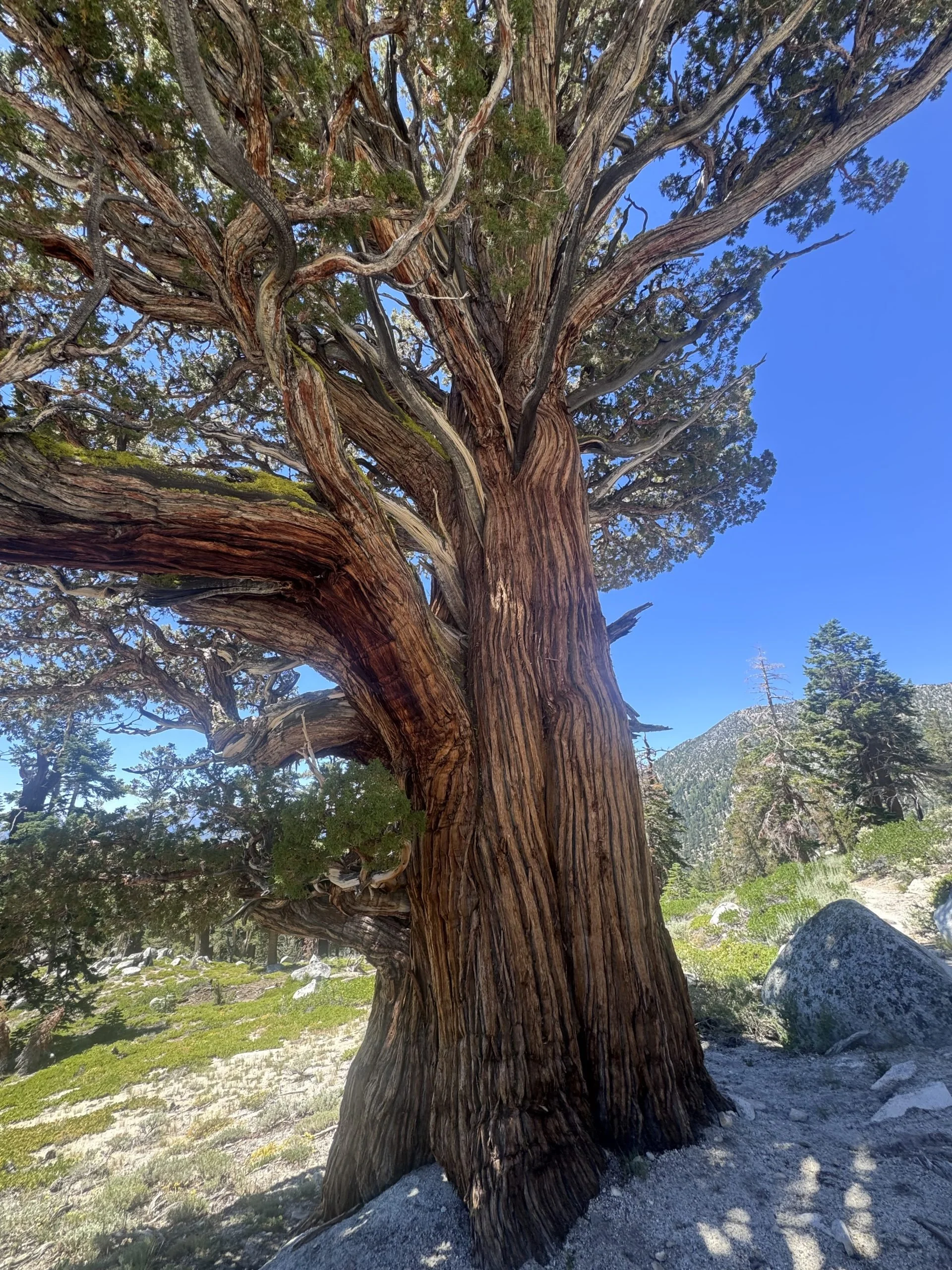
At this point, I was beginning to wonder if I should go ahead and attempt to make all the miles to the road. It would be one of my longest days yet, but I felt like I could do it. I felt strong. So I decided to go ahead and push my final 14 miles all the way to the road. I was reminded of how dry this side of the trail was. Little to no coverage, the sun was beating down on me, and I was draining my water supply. I was momentarily distracted by some Sierra Junipers that were trickling past me.
Other hikers I was passing were also trying to hide from the intense heat. If I was smart, I would have taken a break, but I was motivated to finish my hike before the end of the day.
The Final Miles
Continuing my trek, I hiked to my last water source. I sat down and started filtering my water. At this point, I was almost hungry for water. As soon as one bottle of water was done, I was already moving on to the other one. I met two other hikers who were hiking the TRT counterclockwise. They were almost done with their thru-hike. After we chitchatted, I wished them both luck on their journey and quickly hiked my final 3.5 miles to the road. With relief, I can proudly say I made it to the road by 6 PM, and a kind gentleman offered me a hitch to the city before I caught a Lyft the rest of the way to my hotel. I'm so happy I focused on listening to my body this time, instead of forcing it to hike miles when I didn't have the energy to.
Stats in the Wilderness
Temperature Range: 44° - 96°
General Location: Echo Lake, California to Kingsbury Grade, CA (South Lake Tahoe)
Interesting Fact: Many of the junipers along the trail are 100s if not 1000s of years old.
Whose land am I on? Learn why it’s important to respect the land we travel on.
