

From Oregon to the Mojave
Content First Appeared on The Trek
A Full Season on Trail
It’s wild to think I’ve experienced nearly every season out here. I started this adventure back in April on the Continental Divide Trail, hiking north through New Mexico and Colorado. Then halfway through, I flipped to the Pacific Crest Trail, heading south toward Mexico.
Now I’ve seen it all from freezing mornings, scorching days over 100°, hail, rain, even snow. I’ve hit 29° at dawn and baked under the desert sun by noon. Every shift reminds me how vast this journey is and how lucky I am to be walking it.
Trail Stats Overall (so far):
🥶 Coldest morning: 28°F
🔥 Hottest afternoon: 104°F
💨 States hiked (partial): 2
🏔️ States hiked (complete): 3
🥾 Shoes lost: 1 shoe, on the bus in Ashland…
🔥 Shoes destroyed: 6 pairs…maybe more
👓 Sunglasses destroyed/lost: 5
📕 Top book: The Sun is a Compass
☕️ Top trail coffee by state: Sunrise Espresso in Silver City, New Mexico | Coffee on the Fly in Creede, Colorado | Monorail Espresso in Seattle, Washington | Sisters Coffee in Sisters, Oregon | Theory Coffee in Mt. Shasta, California
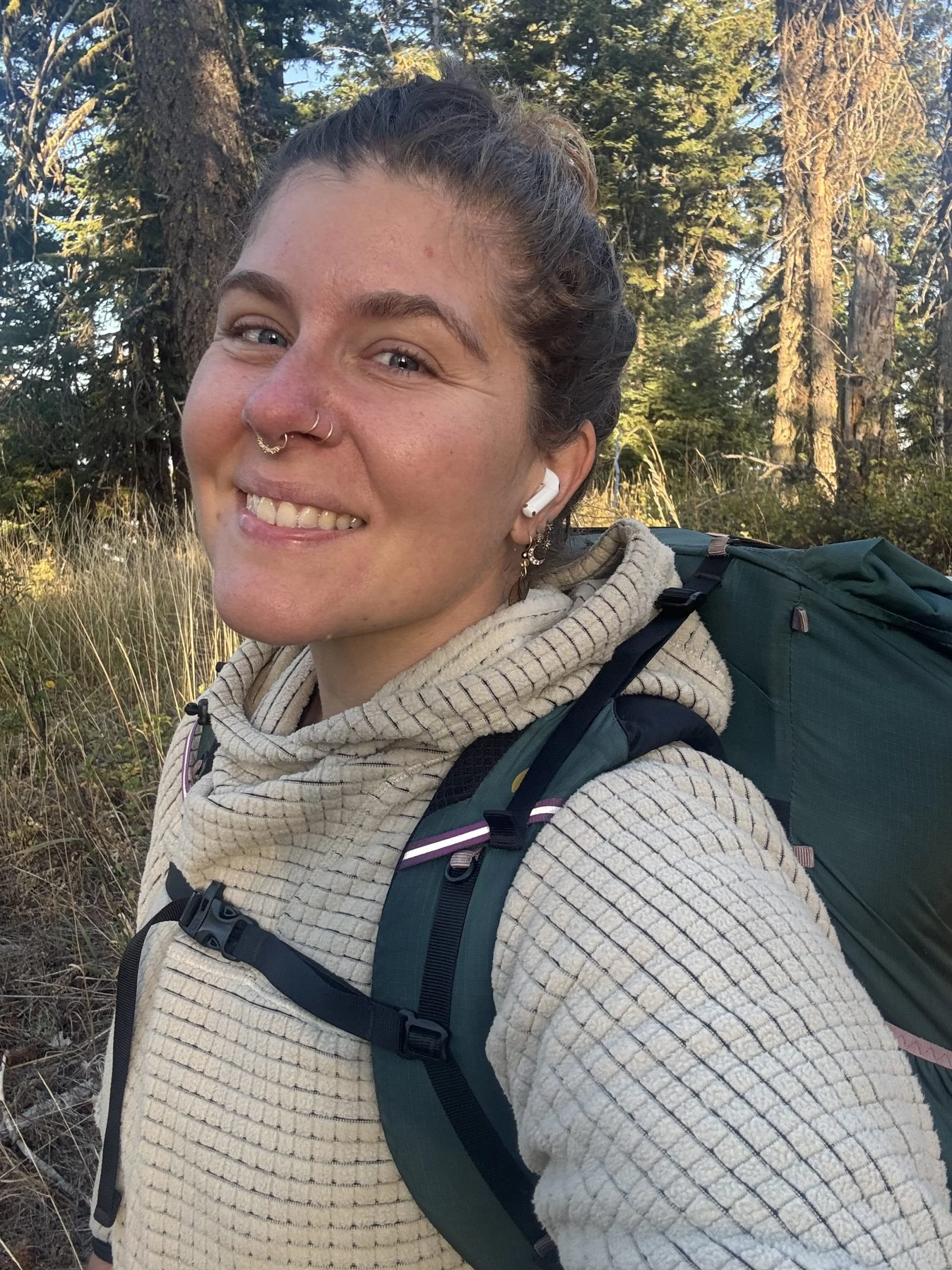
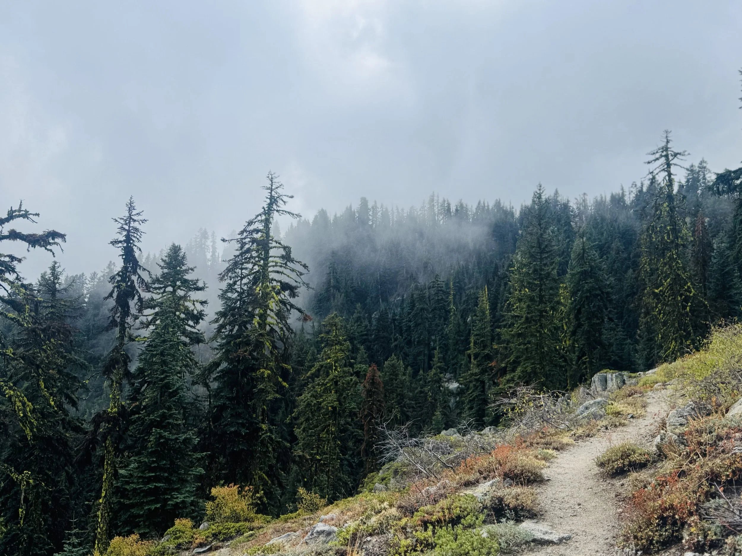
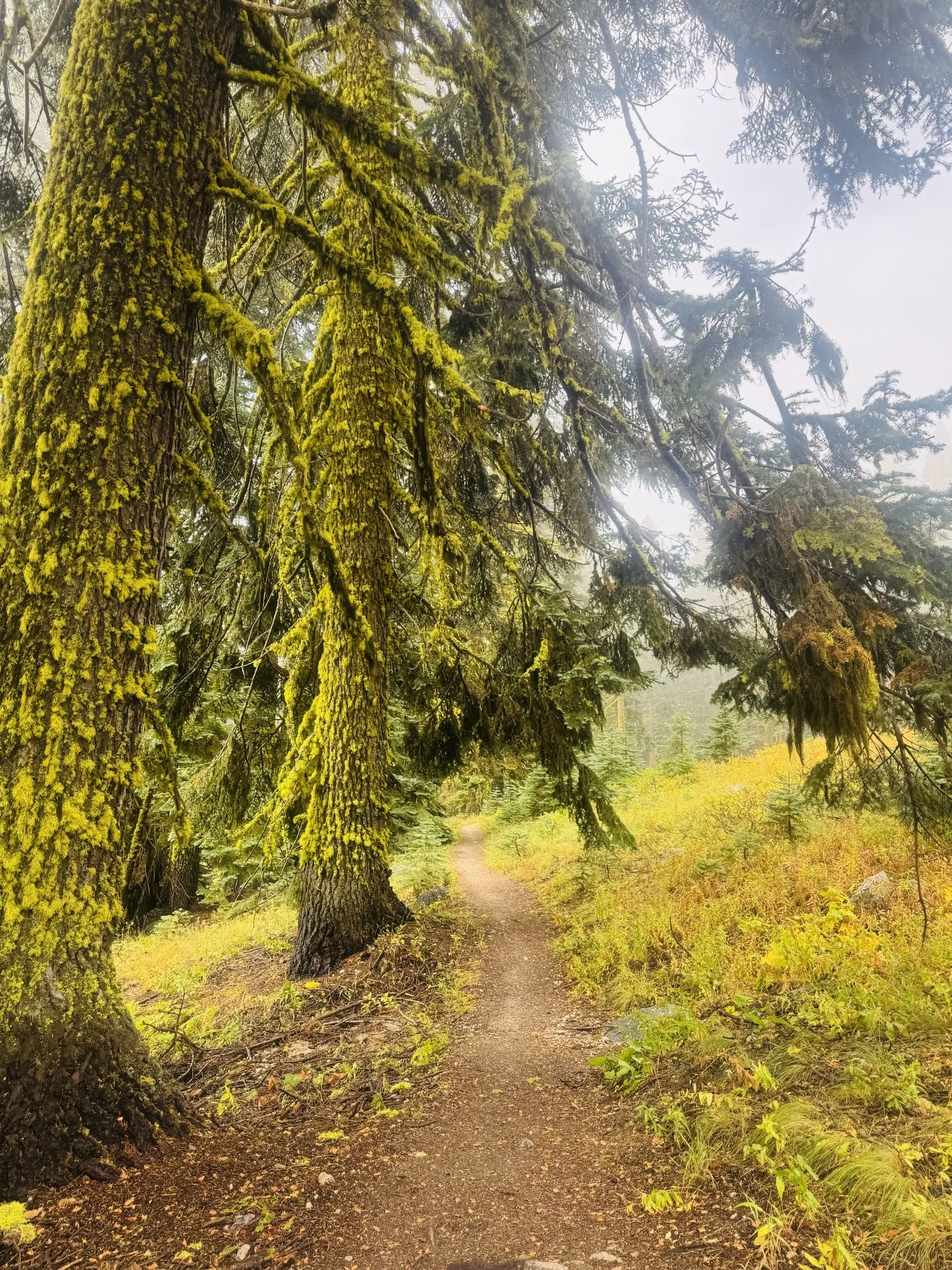
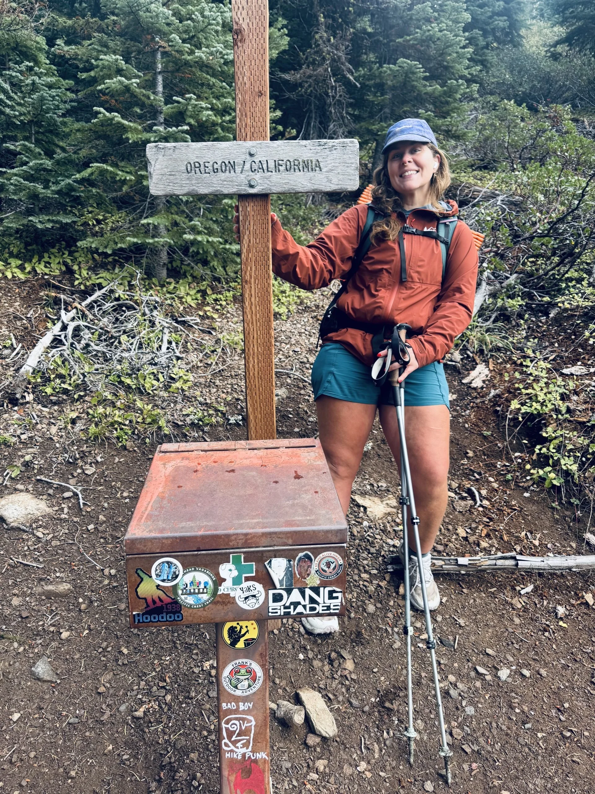
Hiking South Over the California Border
Yeah… it has been a minute, hasn’t it? The Oregon–California border feels like light-years ago. I’ve probably cried ten times since then (definitely more). Bee stings, body aches, and bad weather tested me, but somehow, the trail always smooths over yesterday’s problems.
After Crater Lake, Neapolitan and I hit a slump. We missed our trail friends, our motivation dipped with the rain, and our gear barely kept us dry. The forests shifted from tall pines to sturdy California oaks, and we trudged through miles that felt like weeks.
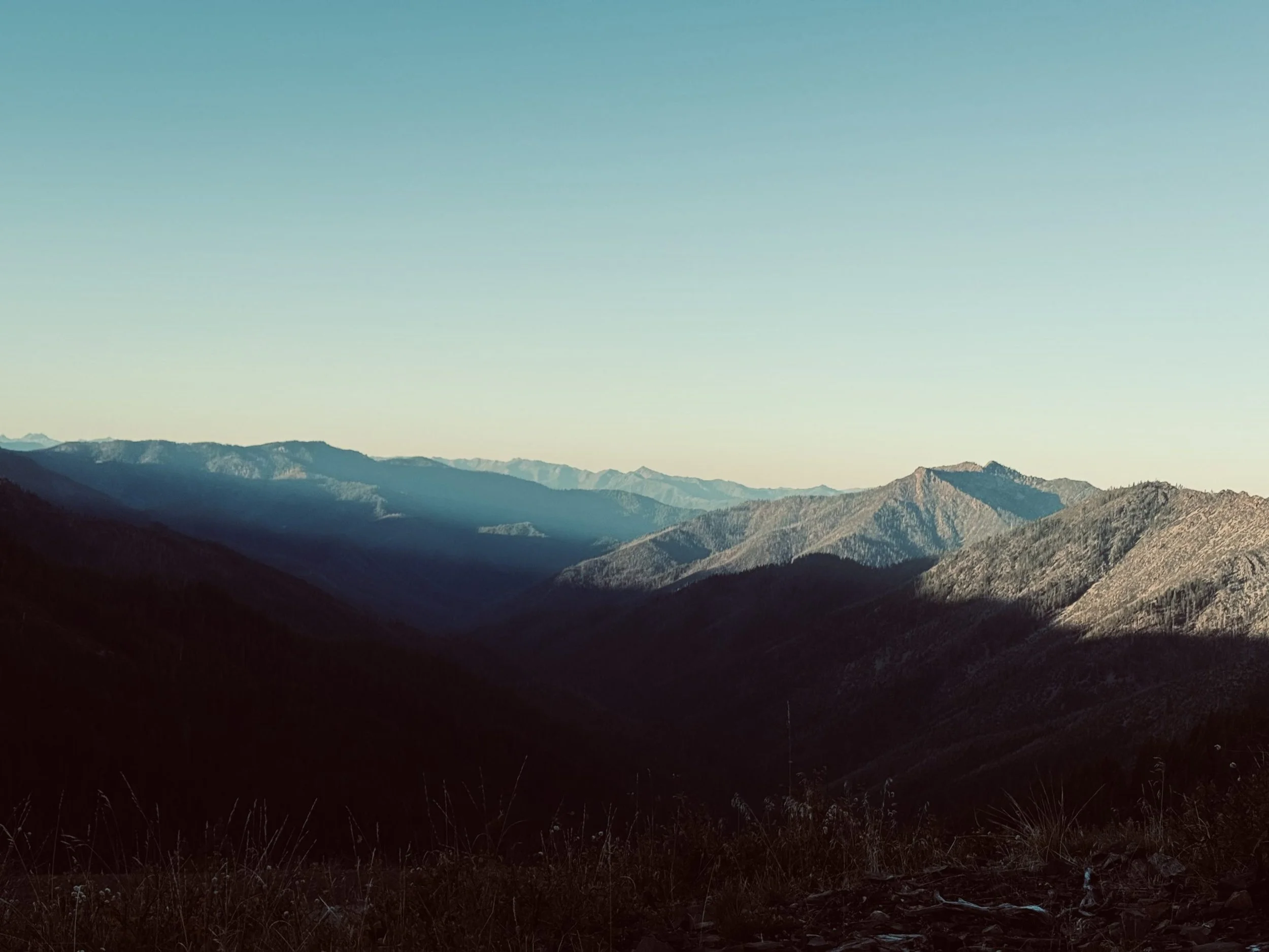
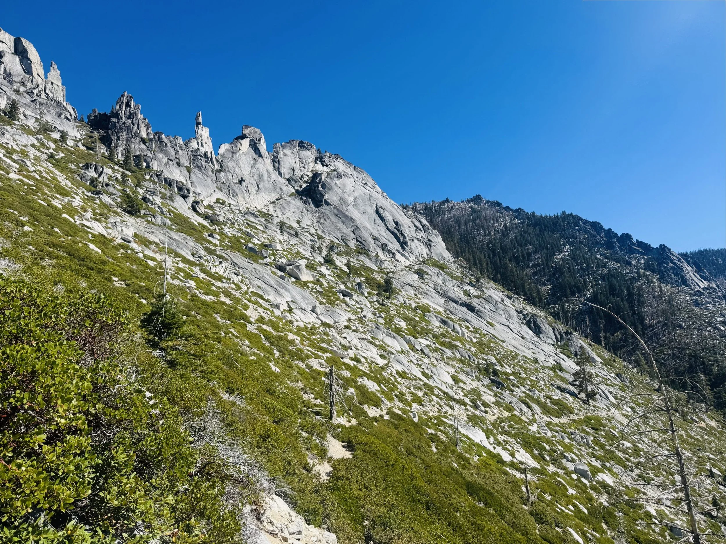
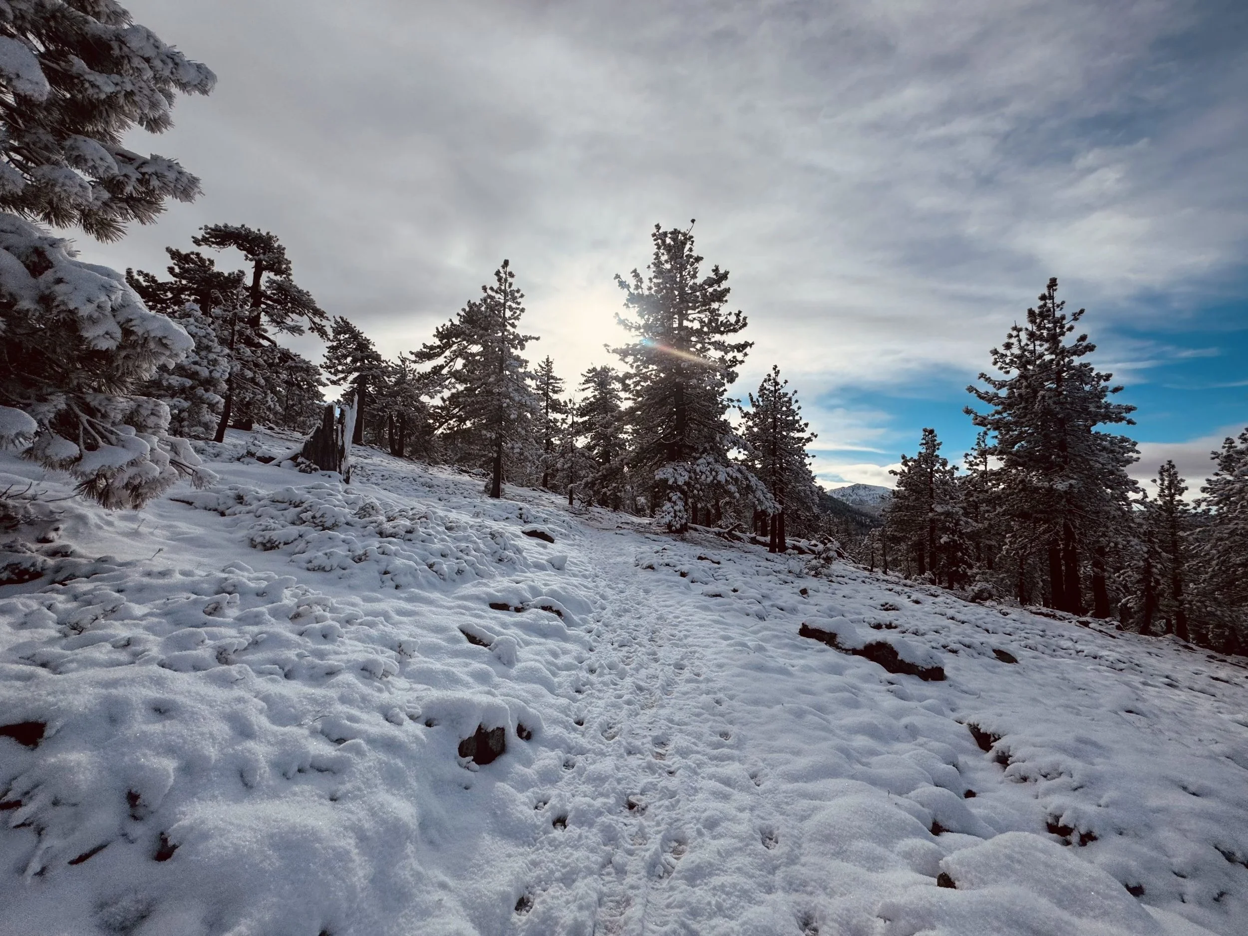
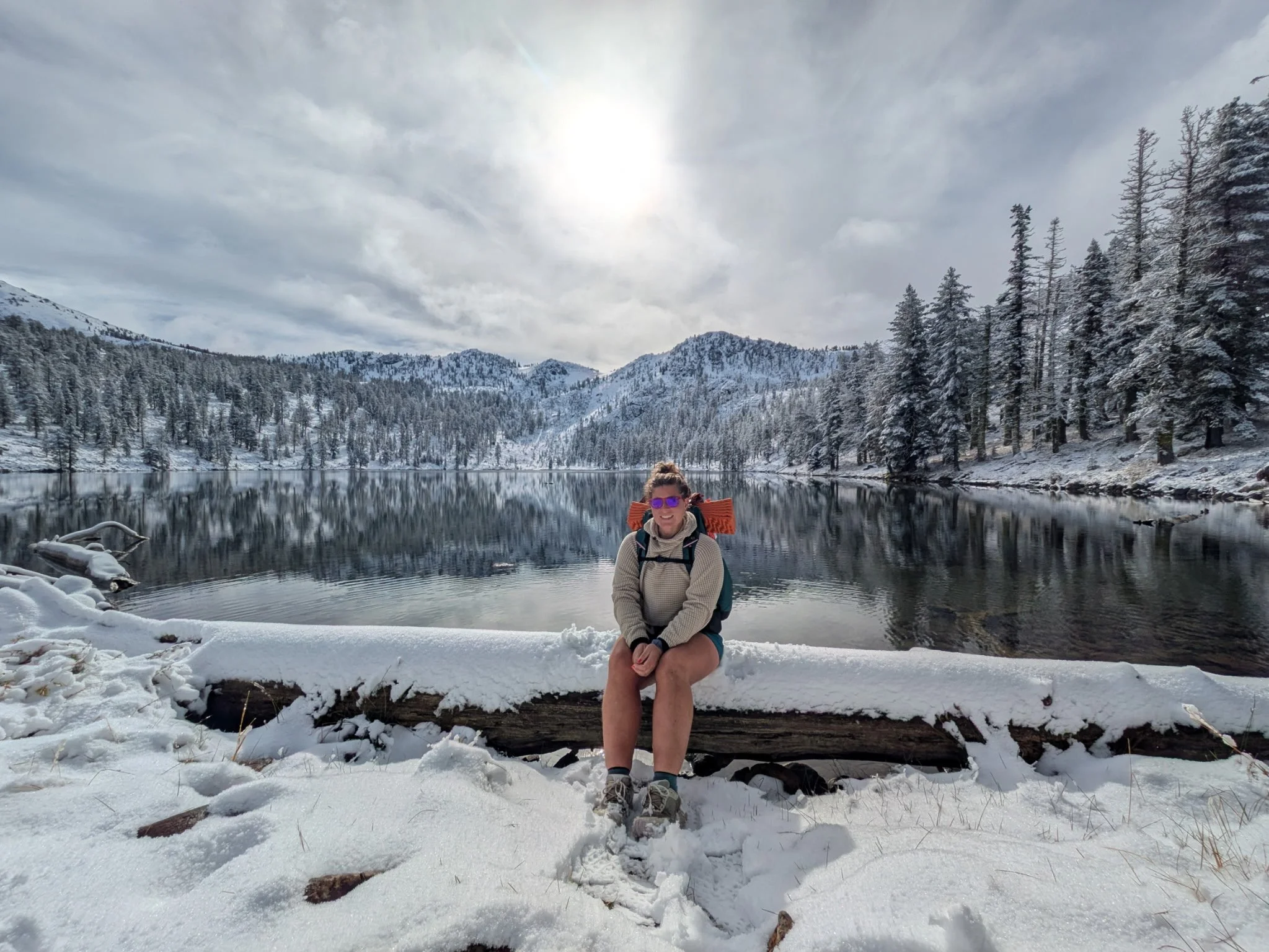
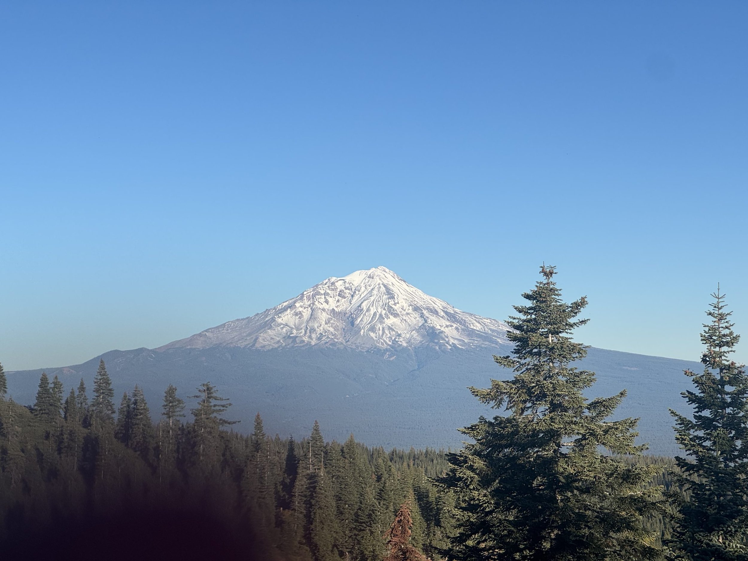
Crossing into California, we wound our way through Seiad Valley, Etna, and Burney. The trail wrapped around Mt. Shasta like a bowl, showing every jaw-dropping angle of that massive volcano. But beauty came with a price, with the experience of overgrown brush which tore at our legs, yellow jackets which found me again, and a snowstorm dumped drifts up to our ankles at 7,000 feet.
Trail Stats:
🐝 Bee stings: 3
🏔️ Highest point: 7,350 ft near Devils Peak south of Crater Lake
🌲 Favorite view: Sunset over Shasta’s northern ridge
Bay Area Adventures (A.K.A. The Trail Vacation)
After one too many cold, wet days, we made a hard call; we made plans to skip ahead to the southern Sierra and come back next year to finish the miles. The decision stung, but the trail teaches you to bend, not break.
We stayed with my cousin’s family in Burney, cozying up by the fire and inhaling real food again (pancakes, burgers, chicken alfredo). Then came a mini road trip through Northern California. We side-quested to Redding for a car rental, then Tahoe for a few days of rest, emails, salmon dinner, and mountain air.
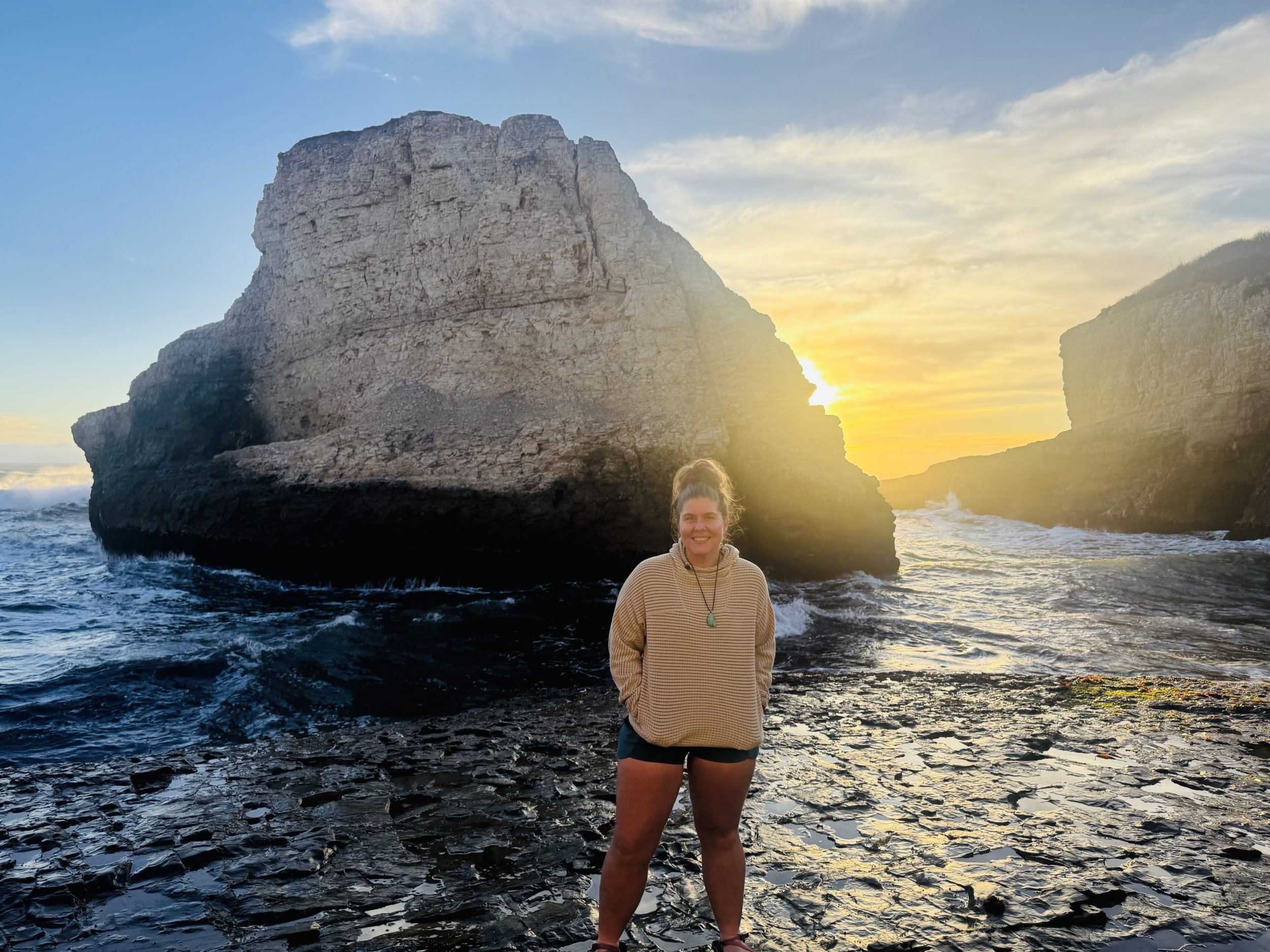
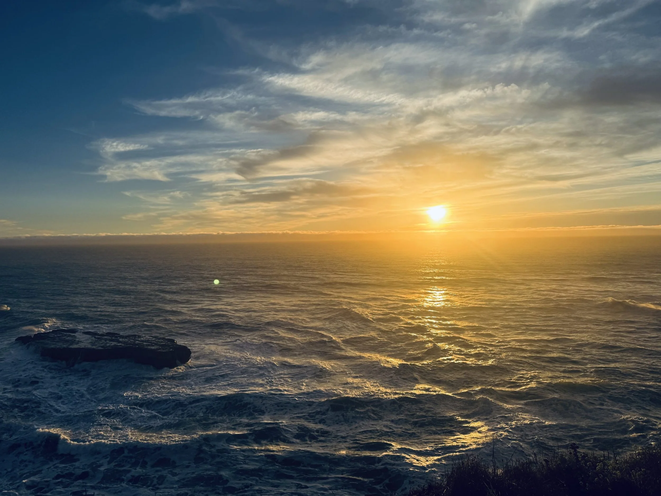
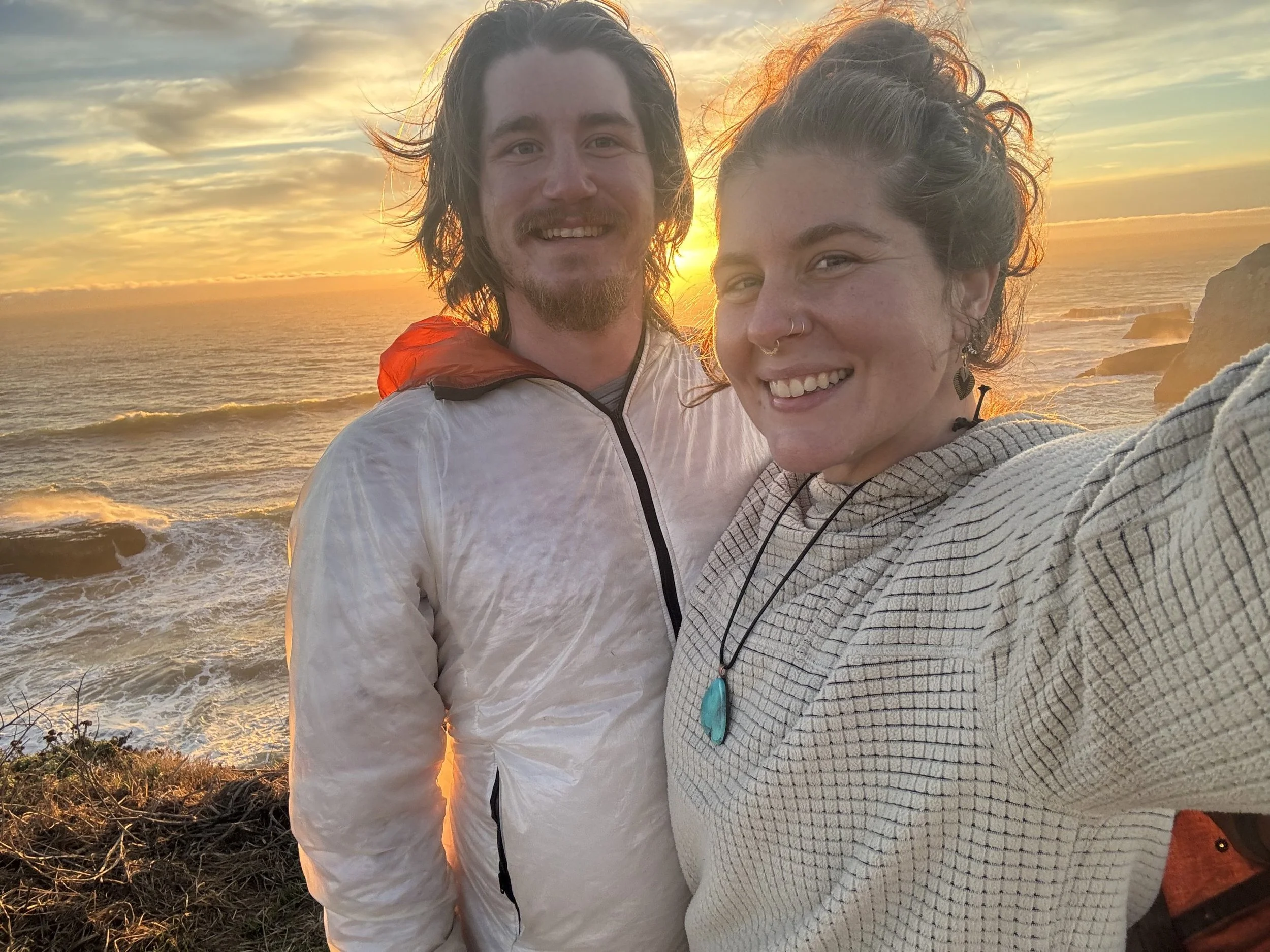
While in Tahoe, we discovered my best friend got engaged, so a detour was non-negotiable. We celebrated in Antelope, wandered Placerville’s cider farms and pie shops, then rolled down Highway 1 to the coast. San Francisco, Santa Cruz, Monterey, Carmel, San Jose- each stop a reminder of connection, laughter, and the luxury of clean clothes.
Trail Stats (a.k.a. Civilization Stats):
🍎 Local cider tastings: 6
🛁 Showers taken: 5 glorious ones
🍽️ Real meals: 21
❤️ Friends hugged: Too many to count
All Good Things Come to An End
Leaving the Bay was hard. Being around people who love and know me reminded me who I am and how much I’ve missed belonging. Trail life gives you solitude, but community? That’s the real medicine.
Still, it was time. With hugs, tears, and one last coffee stop, we drove to Santa Maria to meet up with our friend Waterboy, who hosted us and shuttled us to Kennedy Meadows South. The second my shoes hit dirt again, I felt the switch flip and we were back to the grind, back to the rhythm, back to the wild.
Trail Stats:
🚗 Miles driven off-trail: ~755
🧺 Laundry loads: 2 (only!)
🎧 Audiobook listening to: Ada Blackjack
Joshua Trees and Desert Welcoming
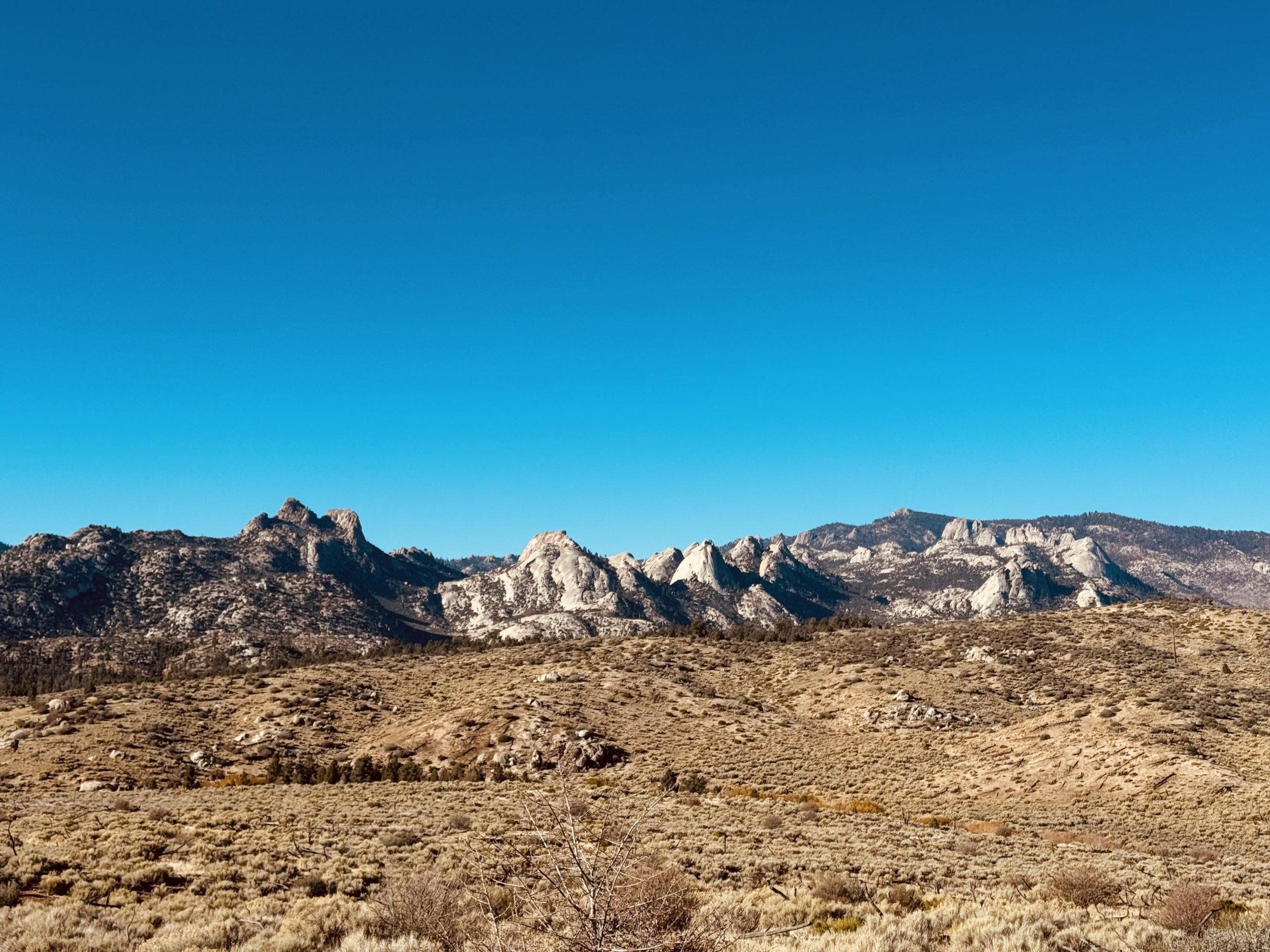
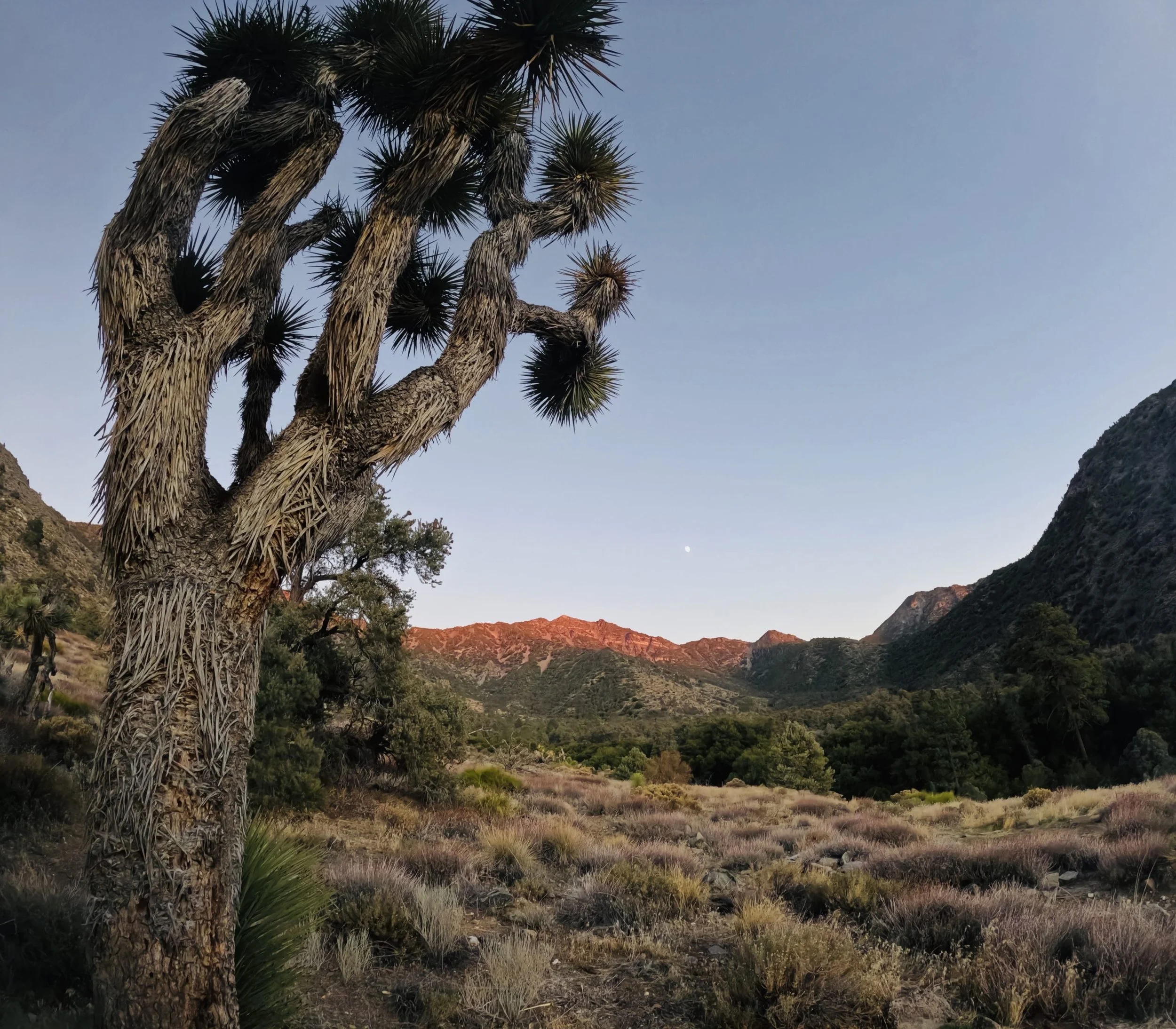
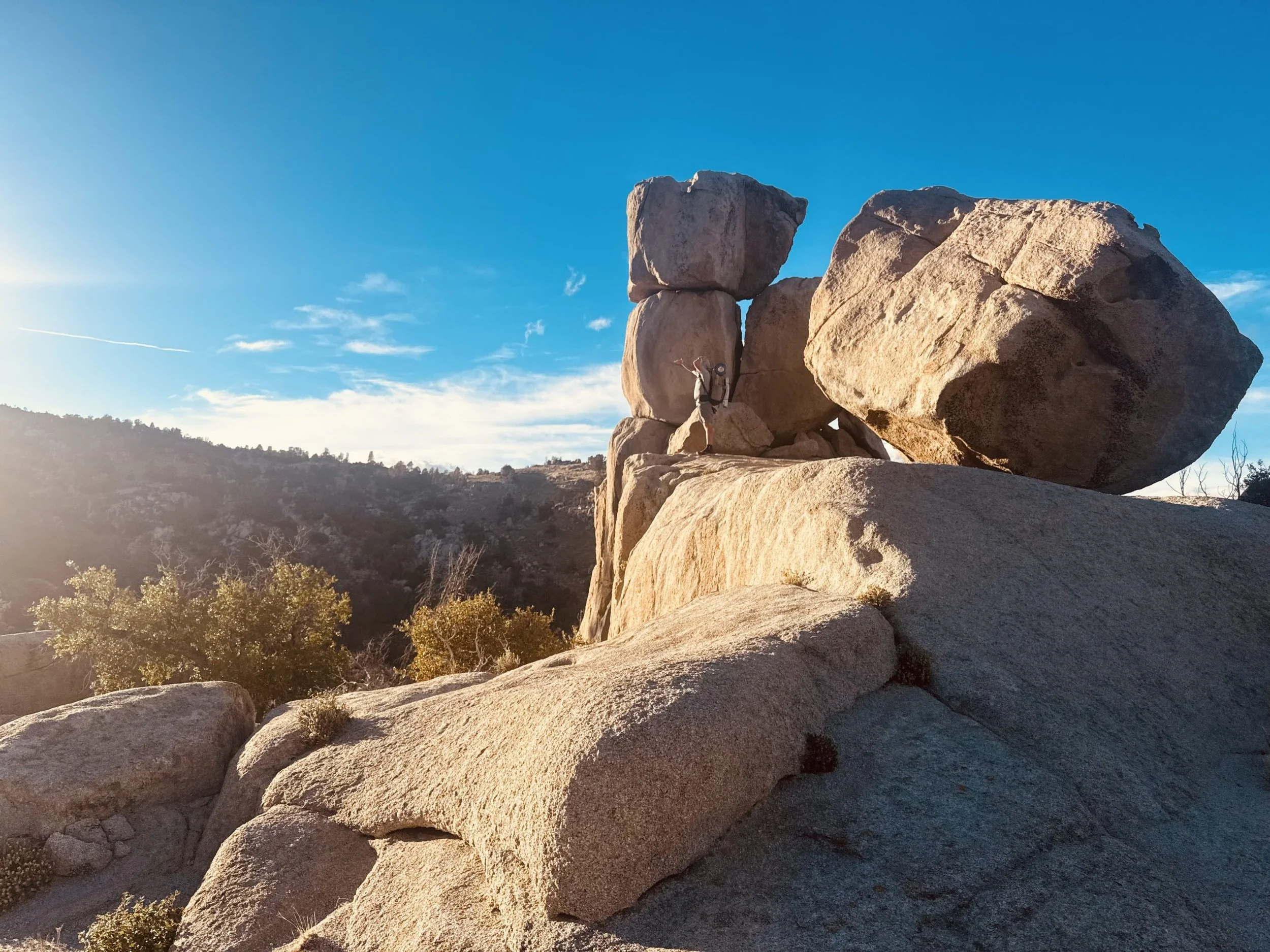
The shock of the desert hit instantly. The air was dry and buzzing. The ground was cracked and golden. We weaved through cactus and sagebrush, watched lizards skitter across our path, and fell asleep to the chorus of crickets.
Joshua Trees stood like little dancers reaching for the sky, strange and beautiful. The desert has always felt like a homecoming in all of its harshness and buzzing with life.
Trail Stats:
🦇 Bat sighting: 1
🦎 Lizards counted: lost track after 30
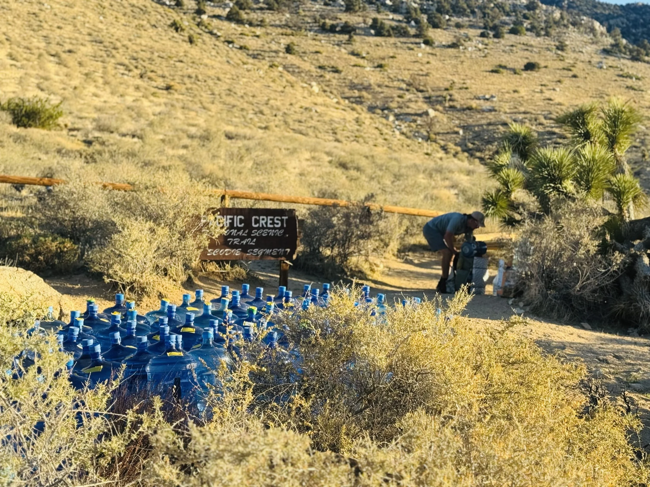
💧 Longest water carry: 18 miles
The Mojave and a Moment of Gratitude
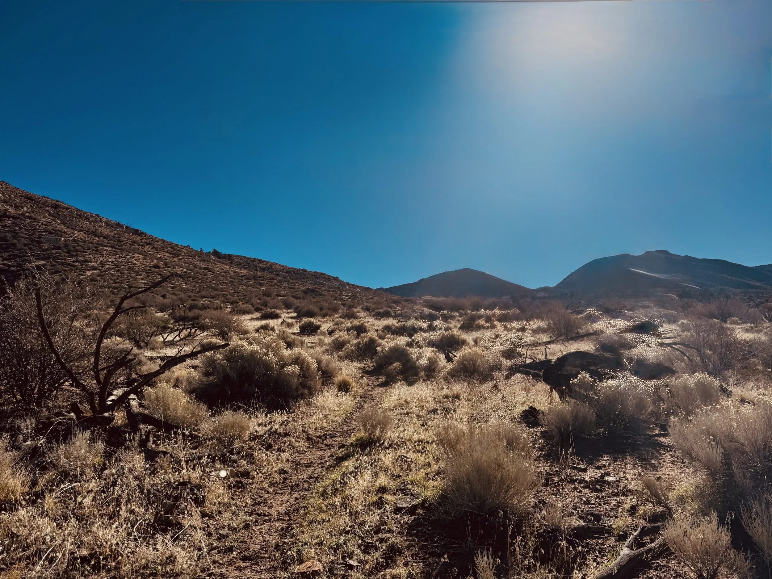
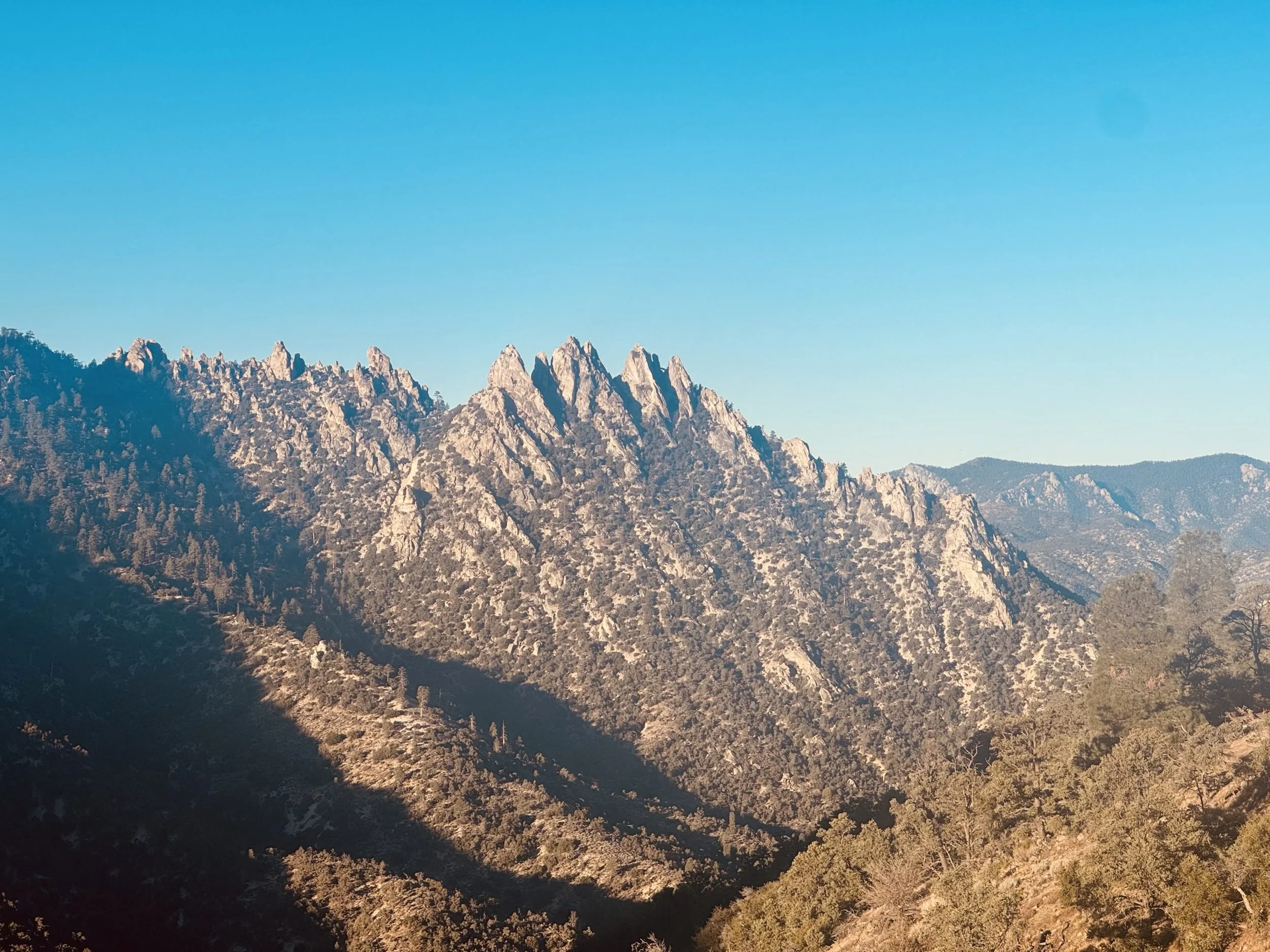
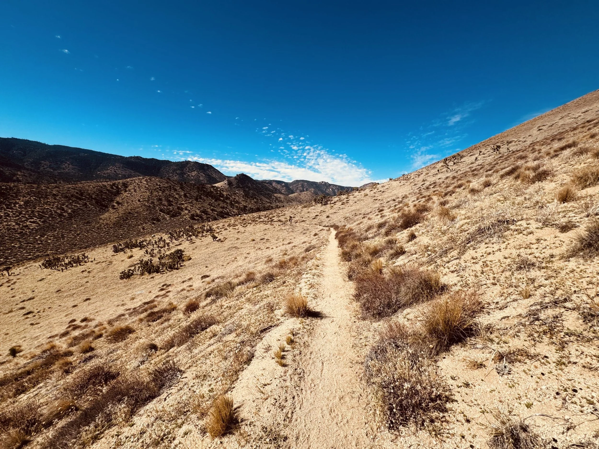
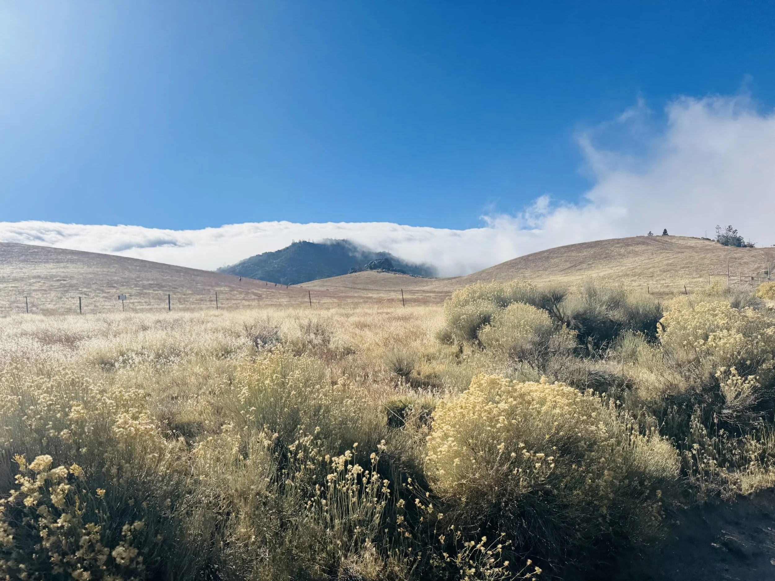
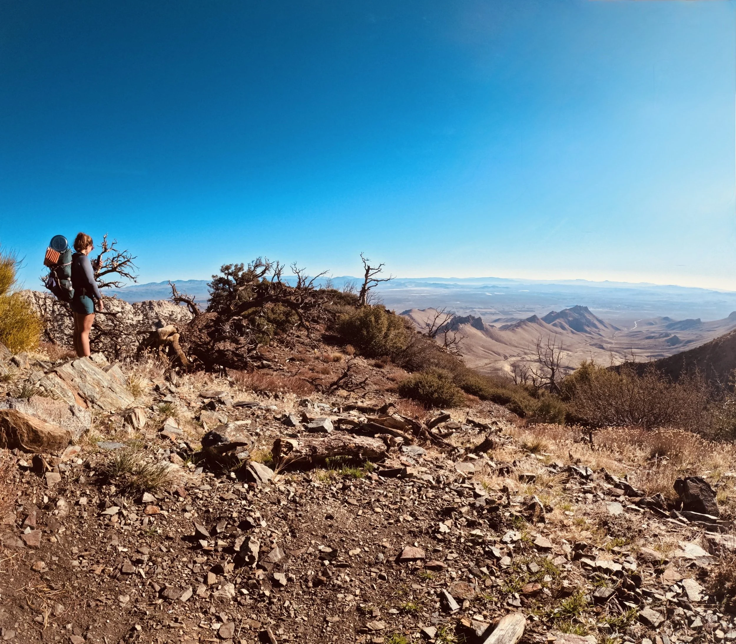
From Inyokern to Mojave, it was 86 miles in just four hot, dusty days. We carried extra liters of water, chased what little shade existed, and laughed at how brutal it all was (okay, maybe I cried again).
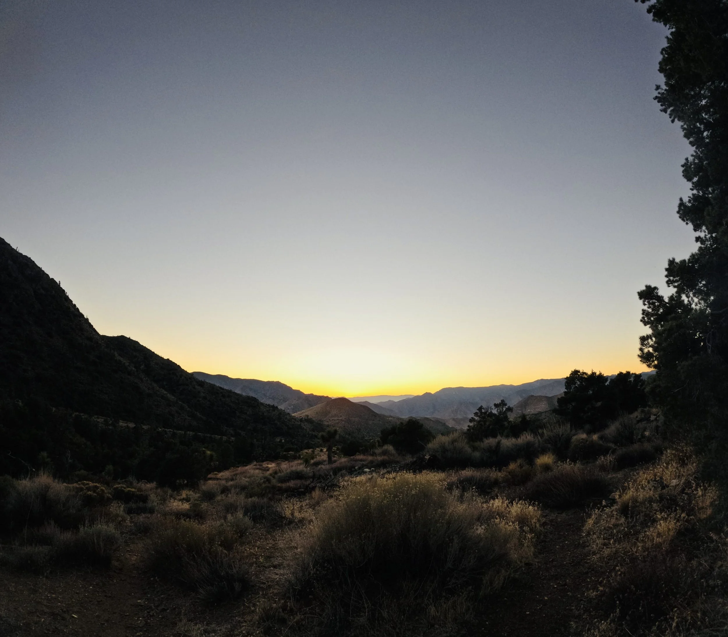
Somewhere between the wind turbines and endless ridgelines, I stopped feeling frustrated about the miles I hadn’t finished. I just felt…grateful. Grateful that I’ve lived this once, and even luckier to live it twice.
Trail Stats:
🌡️ Average temp: 95°F
🚶♀️ Most miles hiked in a day: 21
💦 Liters of water carried: 3 per stretch
💭 Gratitude level: Infinite
It’s easy to get caught up in numbers and timelines, but when I zoom out, this whole thing is a gift. The highs, the lows, the tears, and the laughter. Every mile writes another page in a story I’ll be proud to tell for the rest of my life.
Reflections
True community is made of people who mirror your greatness and hold your growth, even when you can’t see it yourself. -Brainstorm
Stats in the Wilderness:
Temperature Range: Low 29 - High 97 degrees
General Location: Ashland, OR to Mojave, CA
Ascent: 73,516.8/536.9= 136.93 feet per mile
Descent: 76,868.1/536.9= 143.17 feet per mile
Whose land am I on? Learn why it’s important to respect the land we travel on.
